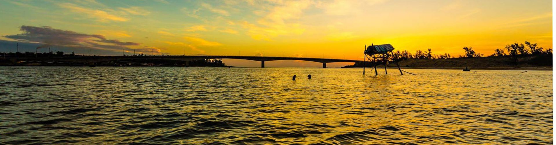
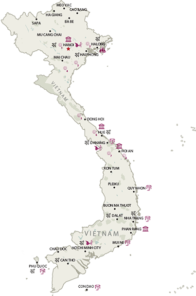
Quang Tri Overview
Located in North Central Vietnam, Quang Tri province is surrounded by Quang Binh province on the north, Thua Thien – Hue province on the south, Savannakhet (Laos) on the west, and the South China Sea on the east, with 75 kilometres (47 mi) of seaside.
Topography
Except for the narrow piedmont coastal plains, the terrain is dominated by hills and the Annamite Mountains. The highlands, characterized by steep slopes, sharp crests, and narrow valleys, are covered mainly by a dense broadleaf evergreen forest. Most of the peaks are from 4,000 feet (1,200 m) to 7,000 feet (2,100 m) feet high, but some rise above 8,000 feet (2,400 m). The narrow coastal plains flanking the highlands on the east have rocky headlands and consist of belts of sand dunes and, in areas where the soil is suitable, rice fields. From the crests that mark the drainage divide in the highlands, streams flow either east towards the South China Sea or west into Laos or Cambodia. Those flowing eastward follow short courses through deep narrow valleys over rocky bottoms until they reach the coastal plains, where they slow down and disperse. The westward flowing streams follow longer traces, sometimes through deep canyons which are subject to seasonal flooding.
Climate
The weather features a wide range of temperatures and rainfall, with hot and dry south-west winds during the Southwest Monsoon (May through September), and much cooler wet weather during the rainy season (November to mid-March). Annual average temperature is 24 °C (75°F), but temperatures can drop as low as 7°C (45°F) during the rainy season.
Tourism
During the resistance war against American Empire, Quang Tri was one of the harshest lands because of bombs and bullets. Nowadays, Quang Tri has become the historic landmark with many remains such as the ancient citadel of Quang Tri and Demilitarized Zone (Khe Sanh Combat Base, Truong Son National Cemetery, Vinh Moc Tunnel, Hien Luong Bridge and Ben Hai River). These are the famous tourist sites which annually attracts a lot of foreign tourists, especially the US Veterans who always desire to come back to visit the old battlefield. Furthermore, coming to this land, tourists are offering chance to take interesting holidays in Dakrong Beauty Spot and Cua Tung Beach – which is referred to as “A Queen of Indochina beaches”. Tourists are relaxed when enjoy themselves in sparkling clean water, silky sand and soft breeze and listening to the whisper made by the rows of casuarinas trees. If tourists are interested in traditional culture, they can find in Thuong Phuoc Festival (13th to 15th day of the 3rd lunar month) which commemorates Hoang Dung who founded Thuong Phuoc Village or Cuop Cu Festival (4th to 5th of the 1st lunar month).
Transportation
Dong Ha City is 74km from Hue City, 80km from Lao Bao Border crossing, 94km from Dong Hoi (Quang Binh Province), 190km from Danang, 617km from Hanoi, and 1,112km from Ho Chi Minh City. National Highway No.1A runs through the province and National Highway No.9, the Trans-Asia Highway connects with the Lao Bao international border gate to Laos.


.png "Travel Tips")